Track your drivers and vehicles with ease, cut costs, and
boost productivity, compliance, safety, and security.
Identify fleet trends, uncover potential issues, and never miss a thing with live data of every driver and vehicle in real-time. From the Latest Position dashboard, you can see the status and activity of your vehicles, including the current speed, fuel level*, driver*, recent events, direction, road speed limit, and geofence hits.
* You will need to upgrade to our advanced telematics option
Create unlimited custom geofences for vehicles entering or
leaving, exceeding waiting times, and excessive speeding.
You can add vehicles due for an MOT, service or inspection.
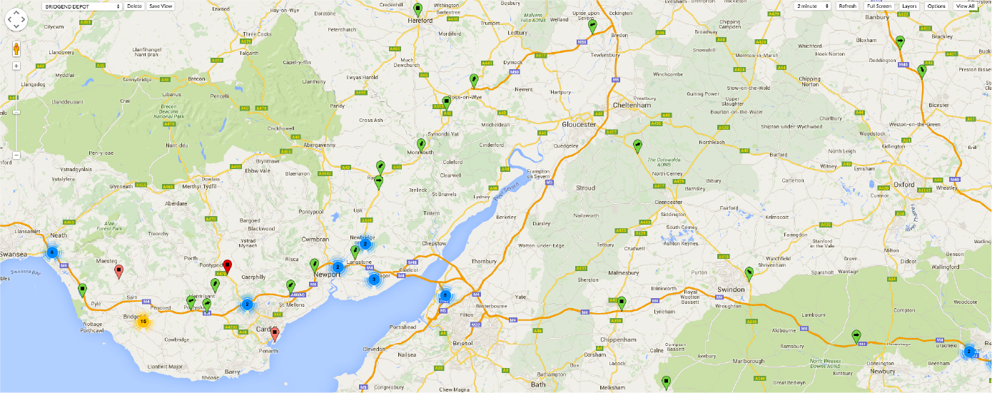
View the current positions of all vehicles overlaid onto a high-res map, including satellite imagery. You can customise the display to show detailed data such as vehicle reg, fleet number, or vehicle description using each marker on the map. Vehicles on the map are grouped into clever clusters to help keep them manageable.
The Vehicles Screen tracks specific drivers or vehicles. Set
custom filters to track your fleet's actions, such as whether
engines are off, on, moving, or in a geofence.
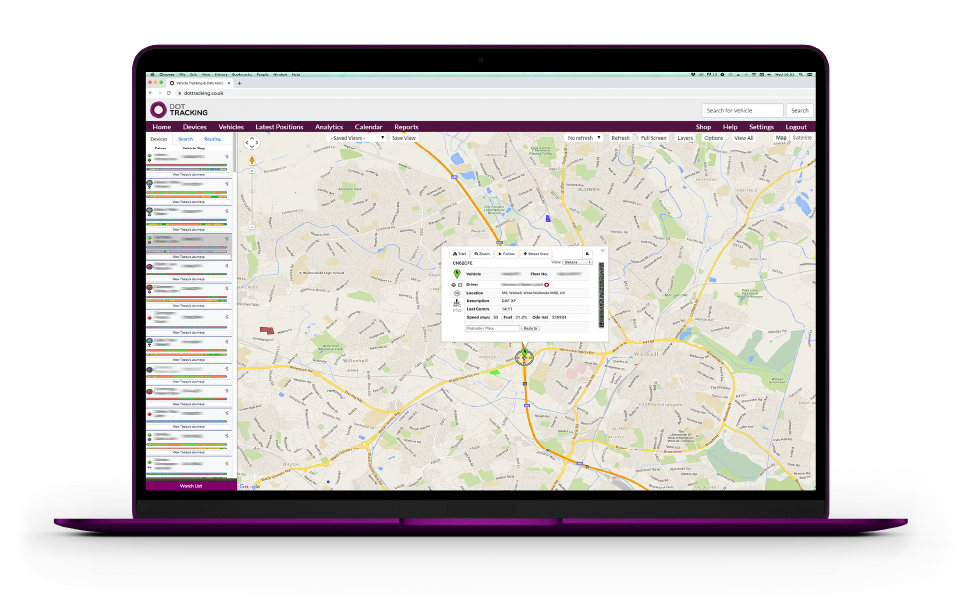
Quickly locate and dispatch the nearest vehicle and driver within a specific location from the DOT Tracking map. Our powerful search function automatically updates the map to show the closest vehicles within a particular area. The feature helps reduce admin costs, saves time, mileage, and fuel costs and makes dispatching easier.
DOT Tracking offers a wide range of features that
accommodate all types of businesses; explore below to
discover more unique features.
Identify poor driving habits and improve driver behaviour via the grading system that provides profile data about your drivers and vehicles performances.
Gain a detailed picture of your fleet from the start, break and finish times, routes taken, geofences hits and a speed graph from the vehicle trail.
Create geofences and set attributes to highlight particular events, such as speeding, waiting time alerts and vehicles entering or leaving a geofence.
Gain a clear view of your vehicle speed via the speed graph that is linked to a vehicle history trail. See speed spikes or long stops at any time of the journey.
Gain valuable insight with immediate access to crucial information and performance metrics to uncover trends and provide reliable forecasts.
Generate routes on an interactive map, and calculate from one place to another, including multiple locations with an option to optimise the routes too.
Keep every well-informed with scheduled reports for the most popular reports and easily send links to your whole team regularly.
Create different alerts to track certain fleet activities, including speeding, harsh braking, idling and waiting times within a geofence.
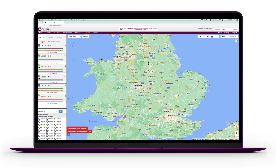
From the Latest Positions dashboard, you can create custom Vehicle Watch Lists. You can configure a Vehicle Watch List to track certain vehicles in several ways, requiring extra observation and scrutiny.
Track various fleet activities, including vehicle descriptions, numbers, geofence states, movement states, stopped times, and ignition and engine status.
The Fleet Journey Comparison dashboard allows you to
compare similar trips and identify the most efficient routes
for better delivery times, saving fuel, time, and money.
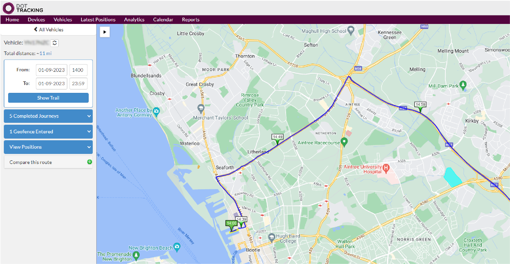
The Vehicle Trails Dashboard provides a detailed description of your vehicle's journeys from start to end. You can also drill down into specific time points to identify fleet activities along the journey trail.
The journey trail map has distinct timed markers indicating points of interest. The marker points will display various timed events and specific data on speed, fuel and stops from the beginning to the end of the journey trail.
Monitor your vehicles and be aware of any unusual or
unauthorised usage. Set up geofence alerts and quickly
locate missing or stolen vehicles.
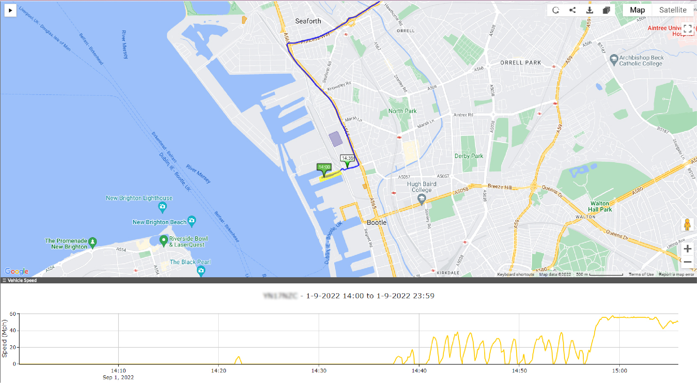
From the Latest Positions screen, you can quickly view a recent vehicle journey with a click of a button. Our high-res maps overlay the journey trail, giving you a transparent view of the journey.
If you require more information about a journey trail, such as a speed trace, you can click to see a Detailed Trail of the trip.
With zero upfront costs, no additional UK sim card charges,
and pay-as-you-go. What have you got to lose?
DOT Remote Tacho Downloads
Upgrade at any time to gain instant access to vital tacho
analysis data. Transform how you regulate tachograph
compliance, regulations, driver hours and WTD rules.
* To receive remote tachograph downloads, you will need our Tachomaster software.
The Falcon DOT Tracker device provides live remote tacho data of your driver’s and vehicle’s activities directly onto the Tachomaster dashboards.
Transform the way you collect live tachograph data remotely and track your driver’s availability, work, drive and rest periods immediately.
Receive alerts via the Road Tech Notifier when a vehicle is driven without an inserted driver tacho card, minimising lost driver’s hours data.
Increase fleet visibility via the Falcon Tracking dashboards and view the exact location of all your driver’s tacho breaks on our detailed maps.
Upgrade to our advanced telematics system, incorporating
critical driver behaviour, live fuel and vehicle analytics, and
remote tachograph download data.
Monitor live fuel levels and receive the most accurate fuel data possible by taking the data directly from the CAN-Bus and helping prevent fuel thefts.
Receive the most accurate speed data directly from the CAN-Bus. Instantly see the speed and the direction your vehicles are travelling.
Gain detailed, invaluable driving analytics from acceleration, idling time, braking, live fuel mpg, engine load, cruise control to maximise your profit.
The Falcon DOT Tracker device provides live remote tacho data of your driver’s and vehicle’s activities directly onto the Tachomaster dashboards.
Gain valuable insight into your daily operations to reduce
costs, increase driver safety and organise your fleet efficiently.
We will never share your details.